FREE SHIPPING ON DOMESTIC ORDERS MORE THAN $149!


- Choosing a selection results in a full page refresh.
FREE SHIPPING ON DOMESTIC ORDERS MORE THAN $149!

Couldn't load pickup availability
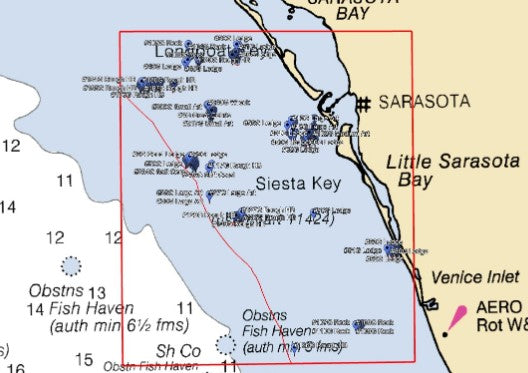
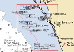
The Sarasota Bay fishing chart (nearshore) is located in state waters (within 9 nautical miles of shore), from Longboat Key to South Venice. The huge Sarasota Bay fishing map contains tons of great ledges, rocky hard bottom, massive areas of debris, soft coral, large artificials, wrecks, and other features. This map includes 240 GPS fishing coordinates.
Depths on this preview chart may be displayed in fathoms (6 feet), meters, or feet depending on your zoom level.
Thanks for subscribing!
This email has been registered!